GIS georeference and precise GPS measurements support
System has unique functions for integrate data with GPS devices for measuring purposes.
It is very useful in planning creation of ortophotomaps or other measurements been
made.
- You can plan georeference points in QGIS GUI (native comunication to our System API) or in WEB
Gui.
- When measures are made there is special import function which can
analyse planned points vs measures points against search range in
meters:
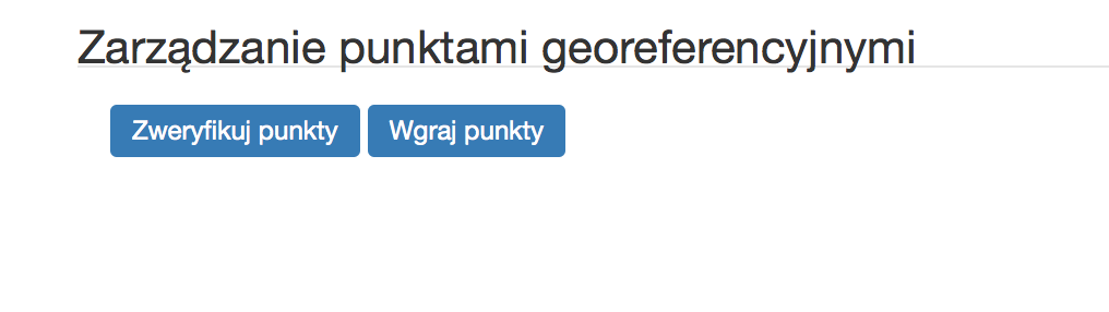
Figure: in georeference table is available special function

-
Figure: visible menu: verify or add points from csv
-
Figure: when error occurs for points that cannot be found or fixed

-
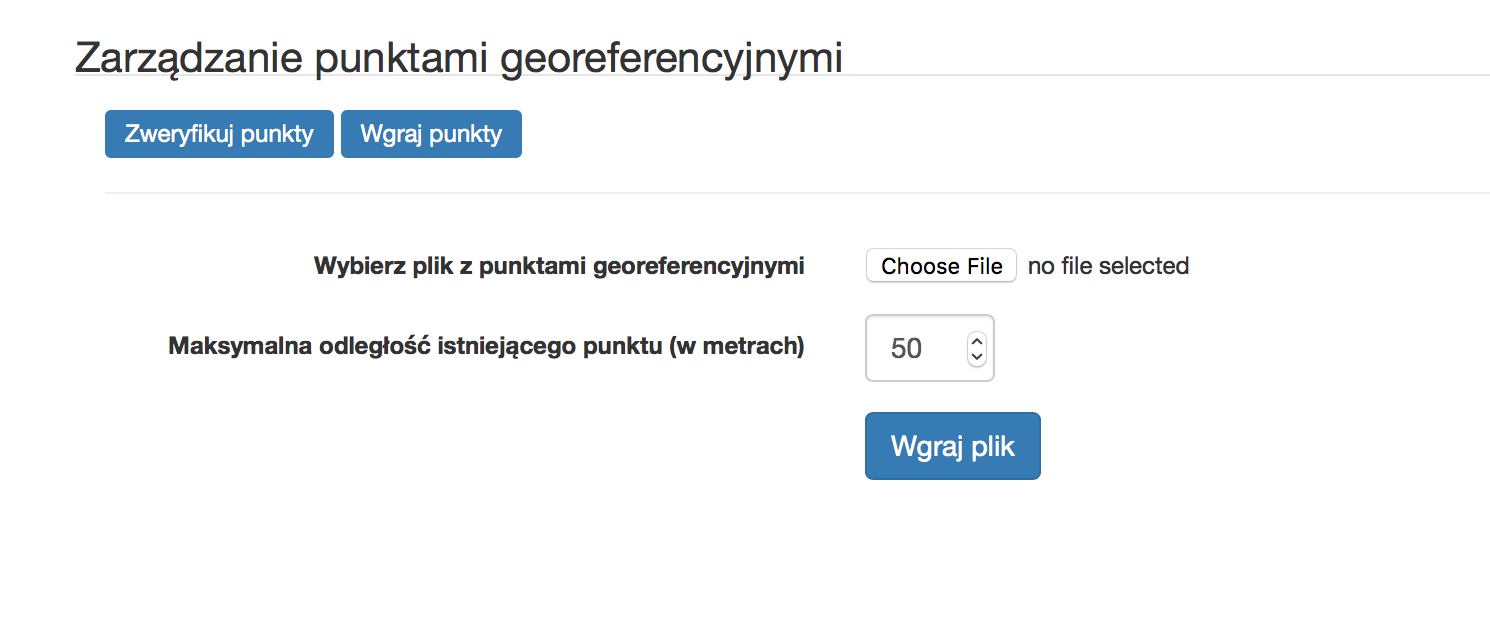
Figure: visible menu with add csv file with range detection option aviable
-
Figure: initial processing of imported csv points raport - choose to fix, add or ignore

-
Figure: final processing confirmation screen

- When measures are made there is special import function which can
analyse planned points vs measures points against search range in
meters:
- After you can see how processed points are visible:
-
Figure: processed point visible in QGIS interface (visible also original physical mark)

-