Spatial network investment algoritms
We support automation of network project development by autoamtically generate network project infrastructure based on the following data:
- Main network infrastructure plan (Linestring) , mainly this are roads from OpenStreetMap.
- You provide cost of Collection Points and cost of one meter of
cable
- You insert the data by native Procesy5 WFS-T interface using QGIS or another standard software.
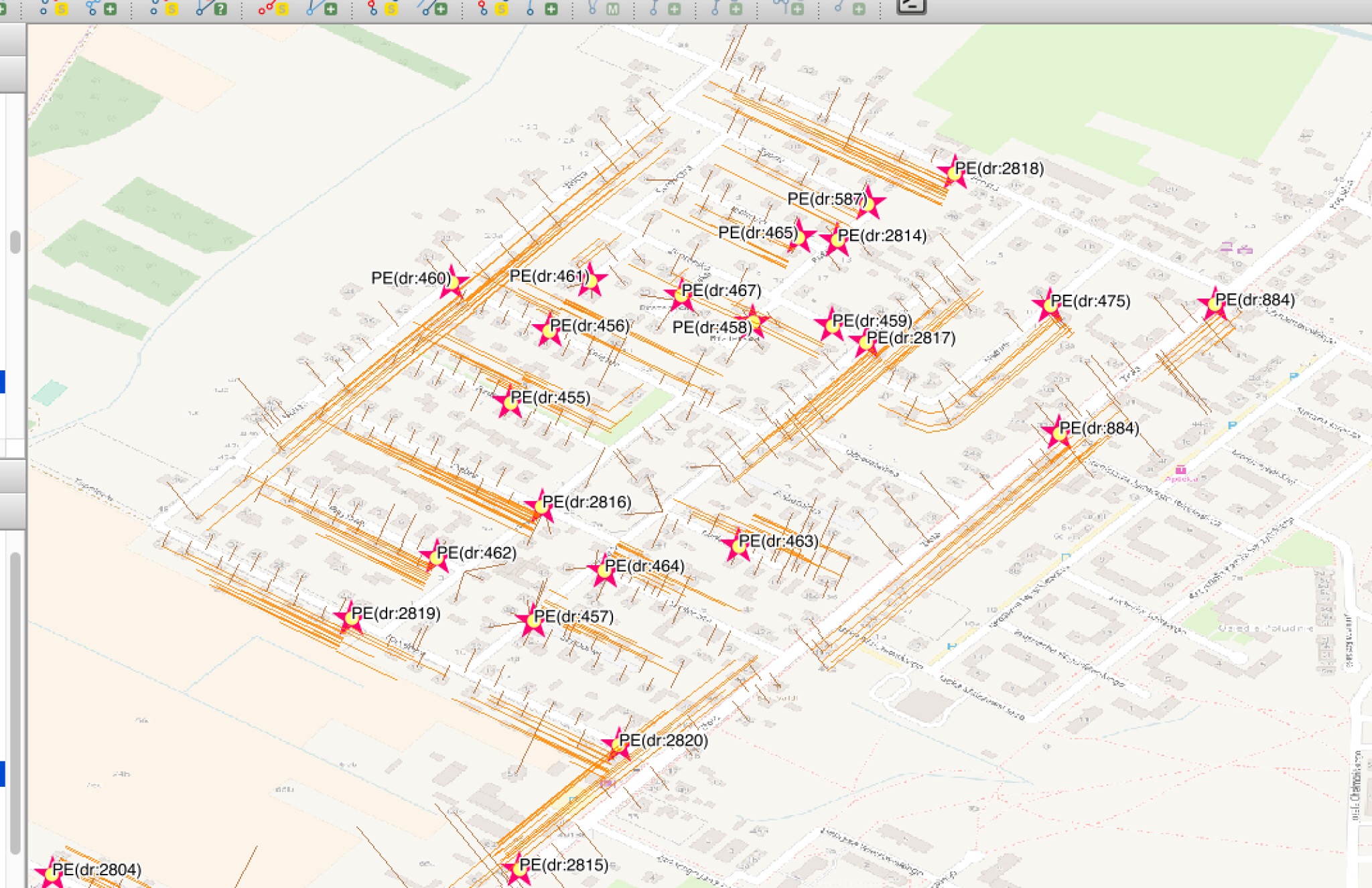
- The output is:
- Generated Collection Points
- Generated cables to Collection Points
- You can than calcuclate costs of Investment easily.
- You can use our native Procesy5 WFS-T API to use Autocad3d or QGIS to see the data online.
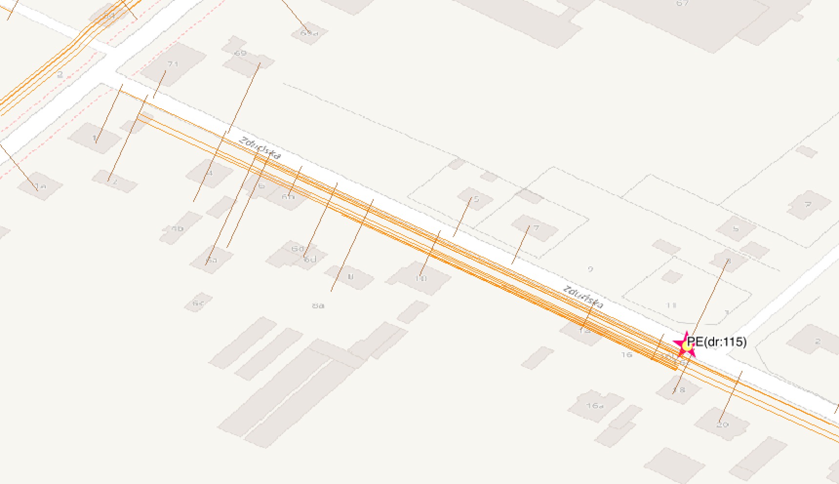
This are sample images: